The local dynamism
This is my neighbourhood.
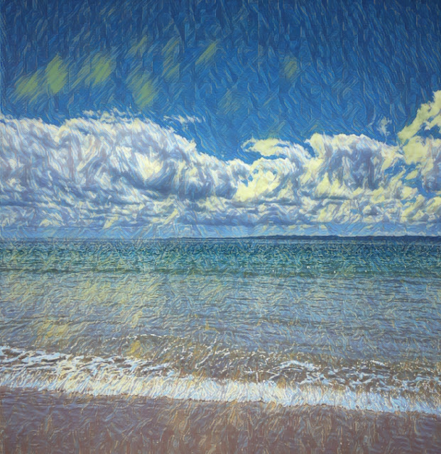
On the horizon is Moorgumpin -- 'place of sandhills' -- which is the Aboriginal name for Moreton Island. The body of water that forms behind it is Quandamooka country -- aka Moreton Bay.
The POV is from Woorim on Bribie Island.
Both Bribie and Moorgumpin are composed of sand.
Any coastal dweller will relate to the tortuous twirl of clouds offshore. The end point of Moorgumpin -- aka Cape Moreton -- acts like a fulcrum for the weather, such that those clouds seem to pivot towards the shores of Australia to offer their moisture to the land.
The gap between Bribie and Moorgumpin holds the main shipping channel into Brisbane.
Moorgumpin makes for great sun and moon rises as we're looking due east, and when the weather is ruled by thunderstorms there's always a lot of storm cell activity on the other side of those sand hills.
So this spot is very dynamic because nothing is anchored as wind, currents, tide and waves rule


